Date: April 24.
Distance covered: 17 km.
Means of transportation: Skis.
Total distance: 357 km.
Today, we finally say goodbye at Cape Eyre on Prince of Wales Island, and enter the mythical Franklin Strait.
We leave the first ephemeris of the project, the Spanish navigators and explorers who mapped the northern Pacific coast of Canada, such as Francisco Bodega y Cuadra, Bruno de Herceta.
And we move on to the second ephemeris, the footsteps of the lost expedition of Captain Franklin and his exploration ships, the Erebus and the Terror.
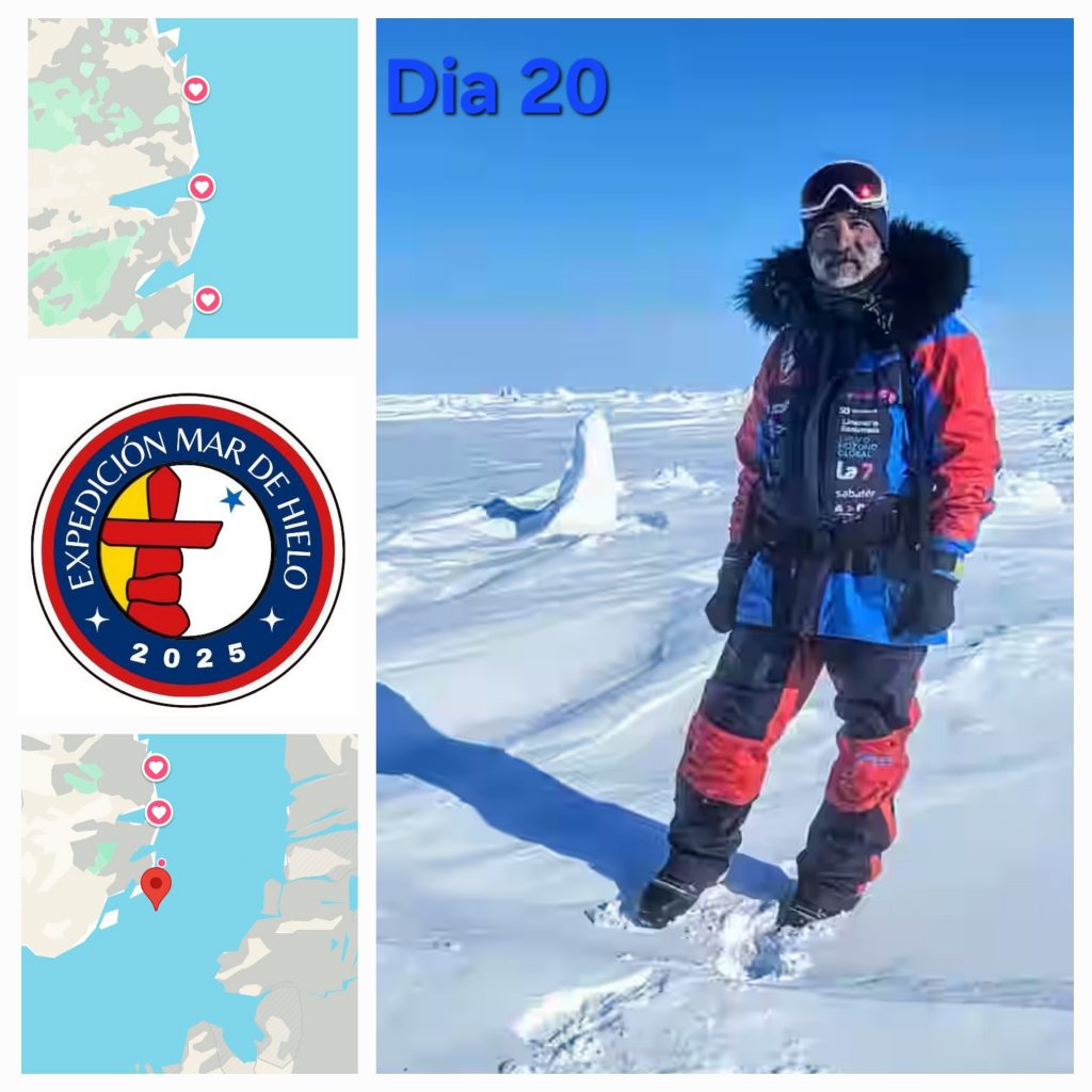
Photo: Jose after giving the baton to his partner, began to enter a maze of two-meter blocks of blue sea ice. He went up and down dunes for 6 km, trying to find the best terrain to move forward.
N 71.756440° O 96.478844° O 96.478844°.
